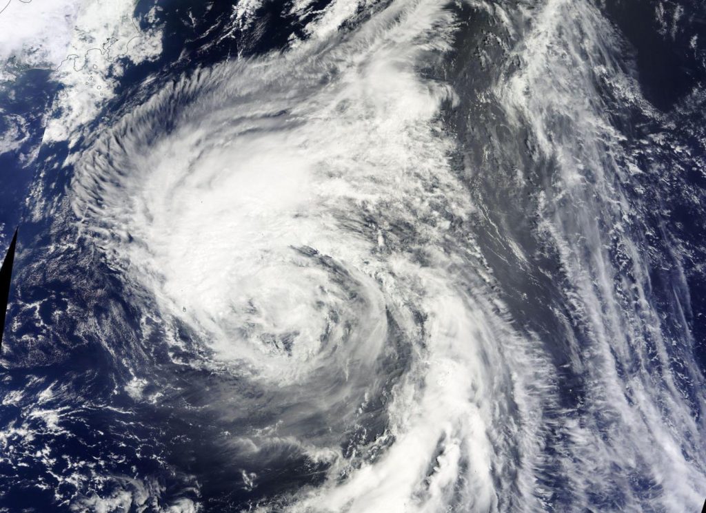
A taifu was expected to pummel eastern and northern Japan on Wednesday, the Meteorological Agency said Tuesday.
Taifu Chanthu was forecast to bring thunderstorms and heavy rain, the agency said, cautioning the public to prepare for strong winds and flooding.
Up to 250 mm rain was forecast for the Kanto and Tohoku regions in the 24 hours through noon Wednesday, while 150 mm was forecast for Hokkaido.
The taifu was moving northward from the Pacific south of Tokyo and was expected to strike Kanto during the morning rush hour Wednesday.
As of noon Tuesday, taifu Chanthu was around 190 km east-southeast of Hachijo Island in the Izu chain, heading north-northwest at a speed of about 25 kph, the agency said.
It was packing winds of up to 108 kph with an atmospheric pressure of 990 hectopascals at its center.
The taifu was expected to pass close to Tohoku and Hokkaido through Wednesday evening and weaken into an extratropical cyclone over the Sea of Okhotsk by Thursday morning, the agency said.
https://www.youtube.com/watch?v=ihz3pZAq6Wo


