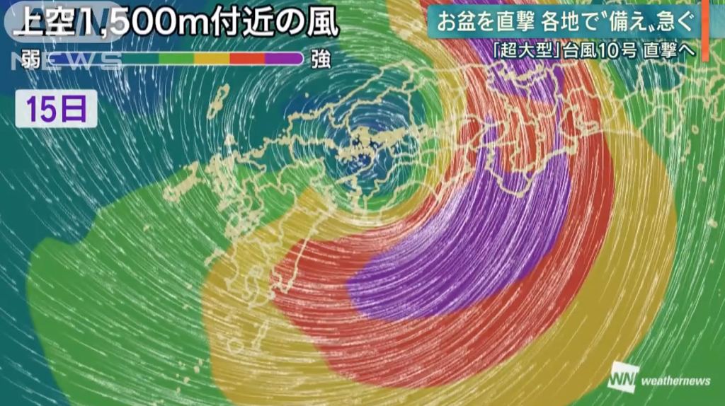
Typhoon 10, classified as “super-big”, moves slowly north and is expected to fly over Japan from August 15 in the afternoon.
The Japan Meteorological Agency has called a press conference to warn of the possible damage the typhoon could bring.
Typhoon 10 is expected to progress slowly as it travels towards the islands of Shikoku and Kyushu reaching full power on day 15.
RAINS:
At 24 hours until the night of the 15th, an accumulated precipitation of up to 400 mm in the northern part of Kyushu, up to 600 mm in the Kinki region and up to 1000 mm in Shikoku is expected.
WINDS:
Attention should be paid to the wind on day 14, the instantaneous maximum wind speed is 45 meters in southern Kyushu, 40 meters in Shikoku, and storms occur mainly in western Japan, and waves of up to 10 meters are expected in Shikoku.
HEAT:
The maximum temperature on day 14 is expected to be 37 degrees in Fukui and Toyama prefectures, 38 degrees in Joetsu, Niigata Prefecture and 40 degrees in Kumagaya City, Saitama Prefecture.
https://www.youtube.com/watch?v=m0l5IG1l2nI
Source: ANN News


